Maps
These are older maps. I'm working on a new set of maps, version 27, that I'm resizing to a more uniform scale from poles to equator. It is over 1100 maps, and each has several layers that I'm displaying: climate, yearly rainfall, average temperatures, and two forms of elevation maps. And of course, after getting a chunk done, I realized I was rescaling the exported maps incorrectly for a sphere and had to start over. I'm a bit OCD and too lazy, so it's going to take a while to get sufficient map pages compiled and then area details written. And that's not even including doing 3D renders...
But explore these older maps that do have a lot of information, even if an uneven scale.
Contents
World
v17
Altitude
Climate
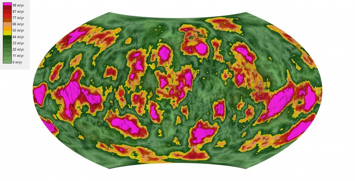
Yearly Rainfall
Mean Temperature
Old Maps
List of Maps |
3D Maps v1Version 1 of my 3D maps, figuring out how to do them. I've started a new version which includes the ice caps better, and greater overall detail, with thousands of maps...
|
3D Maps v2 (v21)2nd version of 3D maps, 21st version of the world maps. These will be built slowly, starting 2021 when the texture layers are done exporting. They will be far more detailed. It will take time to update the new maps with the old information, but it'll get done, and then figuring out how to paint landscape textures... I need to rebuild my map key as I changed the overlap. The B-level maps are hemispheral C-level cover an area of 22.5° x 45° D-level maps cover 3.75° x 7.5°.
|
3D Maps v3I think I'm getting it figured out how I want it to look with the Photoshop 3D maps. But, I really need a better computer to do this faster. Takes about an hour per map for basic coverage, and that's without drawing in the details of the region (roads, communities, significant locations...). I'm also figuring out how to properly use World Machine, if it would reopen the world file without errors...
Click here for latest maps |


