Category:Ethana
2D Maps:
3D Maps:
|
[[File:]] |
[[File:]] |
|---|---|
|
Flag and Map of Ethana of Doëlêl |
|
Contents
Description
HistoryFounded:year BM Major Events |
GeographyGeologyMost of Ethana is a vast flat region in the mountains between Kouvous'Gol and Gruln below. The low points are large lakes which during snow melts, flood the entire valley. Most of the ground is soft sediment from the mountains, with shallow ground water. ClimateThough there is little rain in Ethana, it is a very wet region as many rivers flow into the valley, flooding it frequently. |
|||
EconomyPrimary IndustriesSecondary IndustriesExportsImports |
PoliticsLeadershipAllegiancesLegalMilitary |
|||
Demographics
|
CultureArchitectureArtFoodReligionTechnologySports |
Locations
Avel |
Uun |
Auriese |
Kaya |
|---|---|---|---|
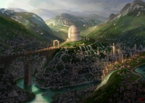
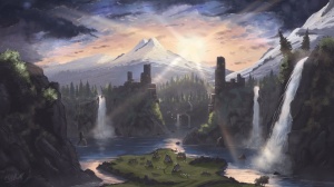
Inspiration Gallery
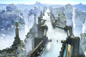
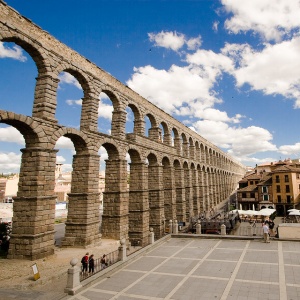
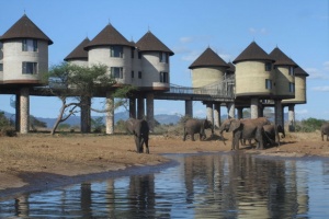
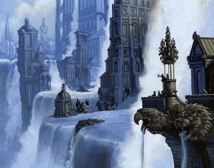
NOTE: I do not own these images in any way, they are for inspiration purposes only and are not exactly what my world looks like, but close enough to get the imagination flowing. If I have the artist's information I will supply links to them for credit. I don't want to think of these as stolen, just "I'm inspired by these for this place." Click on the Credits menu item to see image credits, etc.
This category currently contains no pages or media.
